No reviews yet
Be the first to share your thoughts. Your review helps fellow puzzlers pick their next one.
Write a reviewTakes about a minute · we read it before it appears


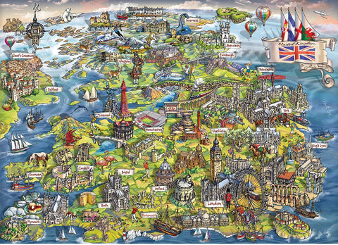
The British Isles by Emma Lawrence - 1000 Piece Jigsaw Puzzle (House of Puzzles)

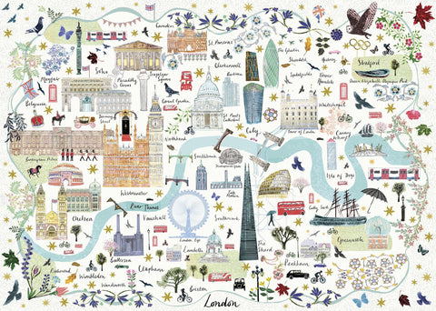
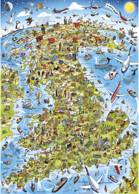
This is one of those puzzles you'll find yourself staring at long after the last piece is placed. Emma Lawrence's illustrated map of the British Isles is absolutely packed with detail, from Highland cattle and red telephone boxes to orca whales, fighter jets, fishing trawlers, and Stonehenge, all crammed into one gloriously busy scene.
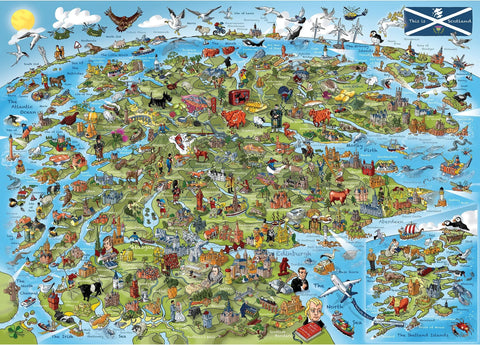
Every region has been given its own little nod: Scotland, Wales, Ireland, and England each come alive with their own iconic landmarks, wildlife, and cultural quirks. It's the kind of map that makes you want to point at things and say "Oh, I've been there!"
The cool blue tones of the surrounding seas give it a classic cartographic feel, while the folk art style illustration keeps everything warm and full of character. Great for geography lovers, proud Brits, and anyone who enjoys a proper challenge with a rewarding result.
Featuring 1000 uniquely shaped pieces from House of Puzzles, this one's a keeper.
The image is densely packed with hundreds of small illustrated icons, figures, and text labels across a largely similar cool-blue background, making individual sections hard to distinguish during sorting.

Automated assistant
Your message has gone to customer service. They reply by email, usually within one working day.
Chats are saved so we can help you and improve our answers. Privacy policy