
Reviews
5.0
Read all 0 reviews
Write a review
Reviews left this way are read by us before they appear. How our reviews work


Best of British – 1000 Piece Jigsaw Puzzle (Gibsons)

by Hartwig Braun · 1000 pieces
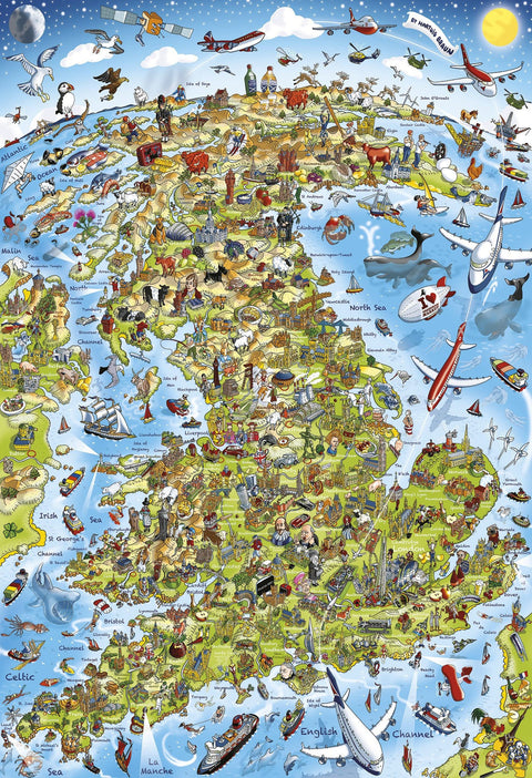
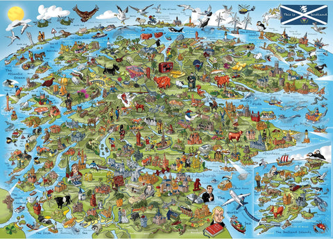
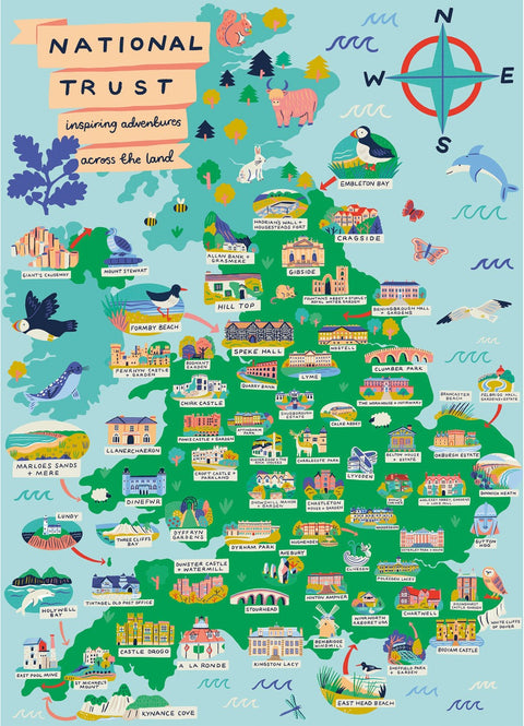
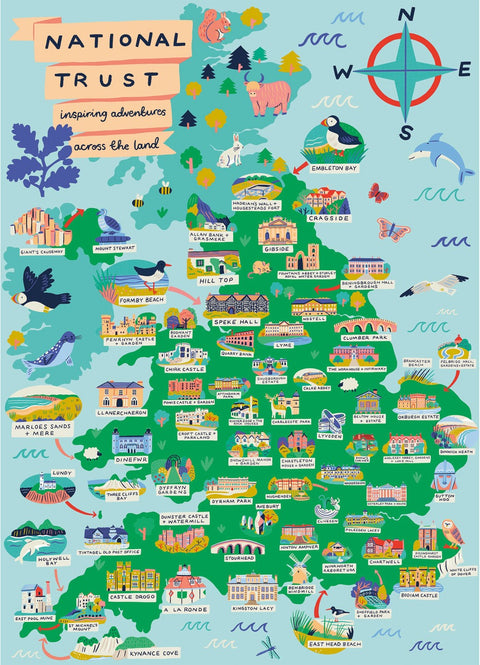
Britain and Ireland seen from somewhere out over the Atlantic, drawn as a cartoon and labelled all round the edges: Malin Sea, Irish Sea, St George's Channel, La Manche along the bottom. Castles, cathedrals and piers are dotted the whole length of it, and a shaggy highland cow has planted herself right at the top.
Aeroplanes bank in from every direction, whales blow out in the North Sea, a puffin sits on the west coast, and a ferry crosses the Channel below.
Clear map structure with distinct land and sea areas provides good orientation, but the many tiny illustrated details across the landmass add moderate complexity.

Automated assistant
Your message has gone to customer service. They reply by email, usually within one working day.
Chats are saved so we can help you and improve our answers. Privacy policy